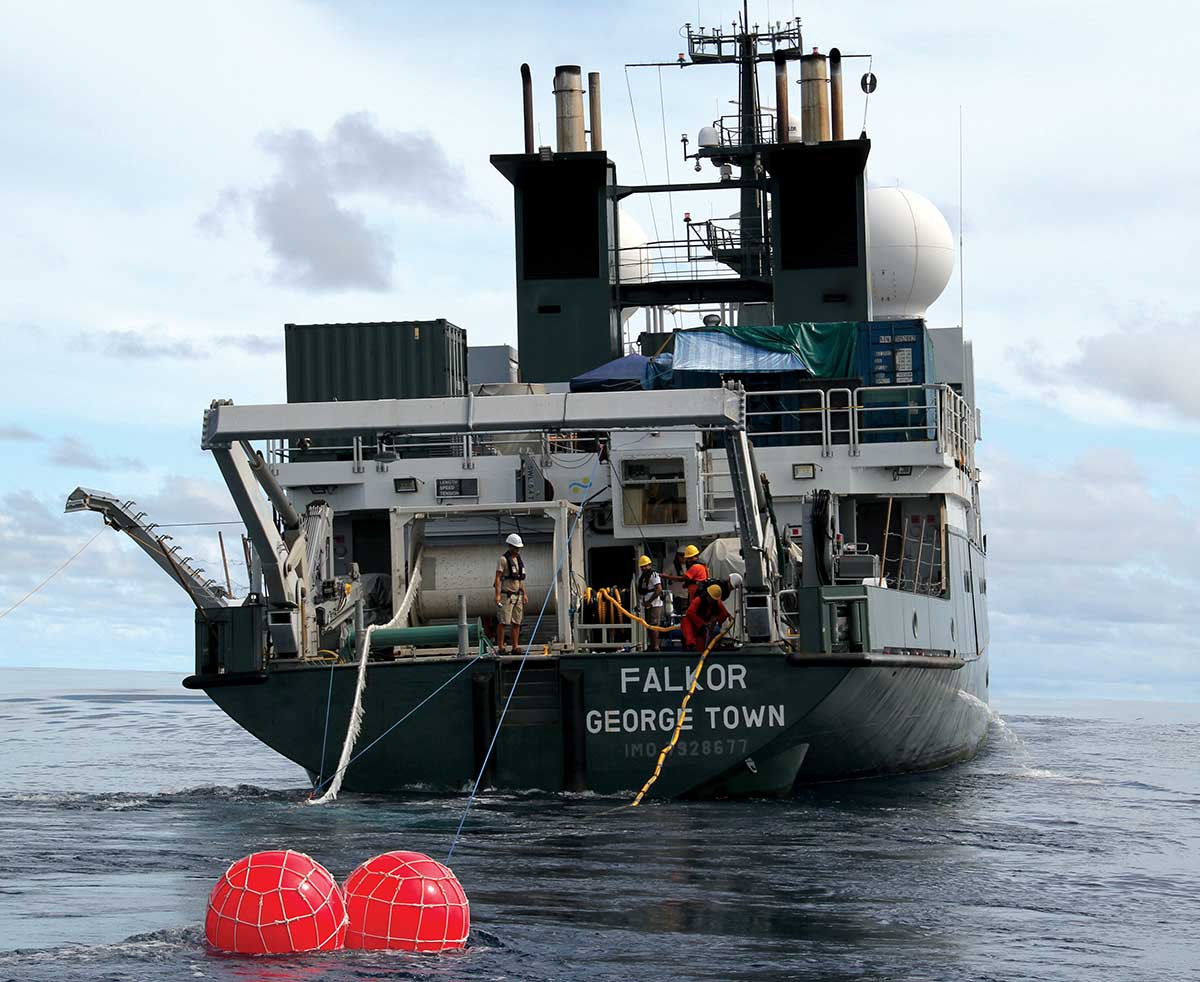
In May, Falkor left port in Singapore to venture into Indonesian waters for the first time to explore one of the most destructive forces on the planet, tsunamis, and namely what causes them in the Sumatra region.
The expedition known as The Mentawai Gap—Tsunami Earthquake Risk Assessment (MEGA-TERA), targeted two areas, (1) Wharton Basin where two great earthquakes occurred in 2012 and (2) the region west of Siberut Island, identified as the Mentawai Gap, which is the only area of the geologically active Sumatra-Andaman zone that has yet to have a large earthquake in the last 200 years.
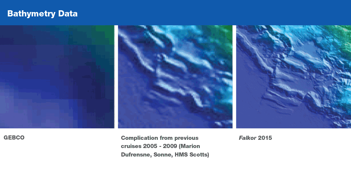
The international science team led by Professor Satish Singh, from the Institut de Physique du Globe de Paris (IPGP) and Earth Observatory of Singapore (EOS), and Dr. Nugroho Hananto of the Indonesian Institute of Sciences (LIPI), were able to acquire high-resolution seismic reflection and bathymetry data for both Wharton Basin and the Mentawai Gap during the 34 day expedition. The scientists acquired 19,515 km² of high-resolution bathymetry mapping, along with 2,780 km of seismic profiling. The team found many active faults at Wharton Basin with different orientations, suggesting that the whole area is deforming on different scales. The Wharton Basin is under enormous stress due to the continental collision between India and Eurasia to the north and the Sumatra-Andaman zone to the east.
this has been a very exciting experiment. We have imaged the seafloor with resolution never done before, which should help us to address the link between earthquake and tsunamigenisis.
— Satish Singh


In the Mentawai Gap region, seismic images show active faults near the Sunda trench, both on the subducting plate and on the overriding plate. A detailed analysis of this seafloor data will allow the scientists to better understand the nature of a tsunami being produced by an earthquake in this region. The team anticipates that it will take several years to fully analyze the data and provide answers to the causes of tsunamis in this region. At the conclusion of the expedition, Chief Scientist Satish Singh stated that “this has been a very exciting experiment. We have imaged the seafloor with resolution never done before, which should help us to address the link between earthquake and tsunamigenisis.” The resolution of bathymetric data collected from the seafloor in this region was a great improvement from what had been previously collected and used for science.
Additionally, the research will impact the citizens of the region. In the Padang area alone, there are over 500,000 people residing less than five meters above sea level and over seven million people living along the central and southern coasts of Sumatra and the Mentawai Islands. The improved maps resulting from the MEGA-TERA expedition will be extremely valuable in predicting the likelihood of a tsunami-causing earthquake in the region and provide some potential scenarios for size and direction of such a tsunami. This information, and the advance planning it will enable, is invaluable to the citizens of the region in preparing for potential tsunami situations.


